Beneath the surface of the earth lies a complex network of roots, crucial for the health and stability of trees and ecosystems. Understanding this subsurface environment has long been a challenge for arborists, environmental scientists, and urban planners. Traditional methods of subsurface analysis, such as excavation and root probing, are invasive and often insufficient for comprehensive mapping of root systems. However, recent advancements in technology have introduced a groundbreaking solution – Tree Radar. This innovative tool, also known as Ground Penetrating Radar (GPR), offers a non-invasive means of enhancing underground imaging, revolutionizing our understanding of soil structure and root distribution.
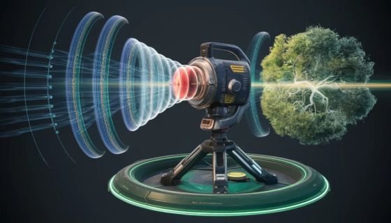
At the core of Tree Radar’s functionality is its ability to penetrate soil layers and detect subsurface structures using electromagnetic radiation. The radar system emits high-frequency pulses into the ground, which then interact with materials of varying electrical properties, including roots. When these pulses encounter roots, they bounce back to the surface, creating a distinct signature that is captured by the radar system. By analyzing these signatures, researchers can generate detailed images of underground structures, including root systems, without the need for excavation or physical intervention.
One of the key advantages of tree radar is its ability to provide high-resolution imaging of root systems. Traditional methods such as excavation often result in damage to roots and soil disturbance, making it challenging to accurately assess root architecture. In contrast, Tree Radar offers a non-destructive means of capturing detailed images of roots, including their spatial distribution, depth, and density. This level of precision allows arborists and scientists to gain valuable insights into root health, tree stability, and ecosystem dynamics without causing harm to the trees or surrounding environment.
Furthermore, Tree Radar’s versatility extends beyond individual tree analysis to encompass entire ecosystems. By scanning large areas of land, researchers can create comprehensive maps of root distribution and soil structure, providing valuable information for ecosystem management and conservation. For example, in forested areas, Tree Radar can help identify root competition, nutrient cycling, and soil erosion hotspots, enabling more effective forest management strategies.
In addition to its applications in natural environments, Tree Radar plays a crucial role in urban planning and infrastructure development. As cities expand and green spaces become increasingly limited, preserving existing trees and their root systems is essential for maintaining urban biodiversity and mitigating the urban heat island effect. Tree Radar enables urban planners to assess the subsurface impact of construction projects, ensuring the protection of trees and the preservation of green infrastructure.
Despite its numerous benefits, Tree Radar does have limitations. Factors such as soil composition, moisture content, and the presence of underground obstacles can affect the accuracy of its readings. Moreover, interpretation of radar data requires specialized expertise, and misinterpretation can lead to erroneous conclusions. Therefore, while Tree Radar is a powerful tool, it should be used in conjunction with other methods, such as soil sampling and field observations, to ensure comprehensive subsurface analysis.
In conclusion, Tree Radar represents a significant advancement in the field of underground imaging, particularly in the study of root systems and soil structure. Its non-invasive nature, high resolution, and versatility make it an invaluable tool for arborists, environmental scientists, and urban planners seeking to understand and manage subsurface environments. By providing detailed insights into the hidden world beneath our feet, Tree Radar is helping to unlock the secrets of soil and root dynamics, paving the way for more sustainable management of our natural and urban landscapes.


